German Invasion Maps & Gazetteer - East Anglia.
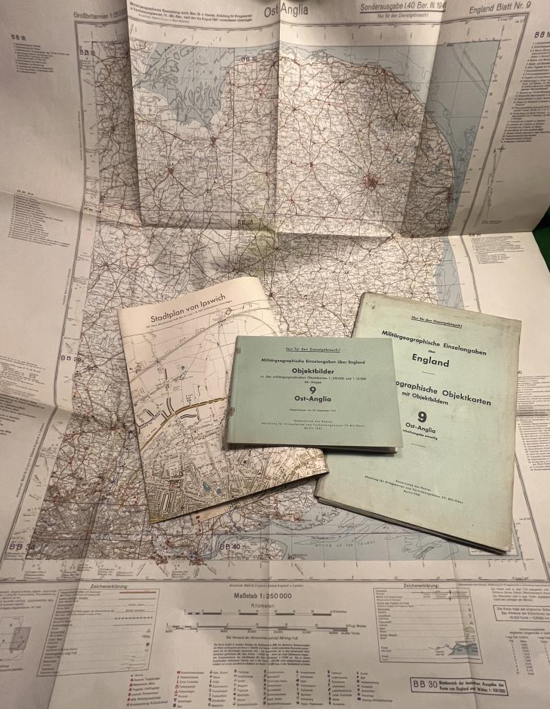
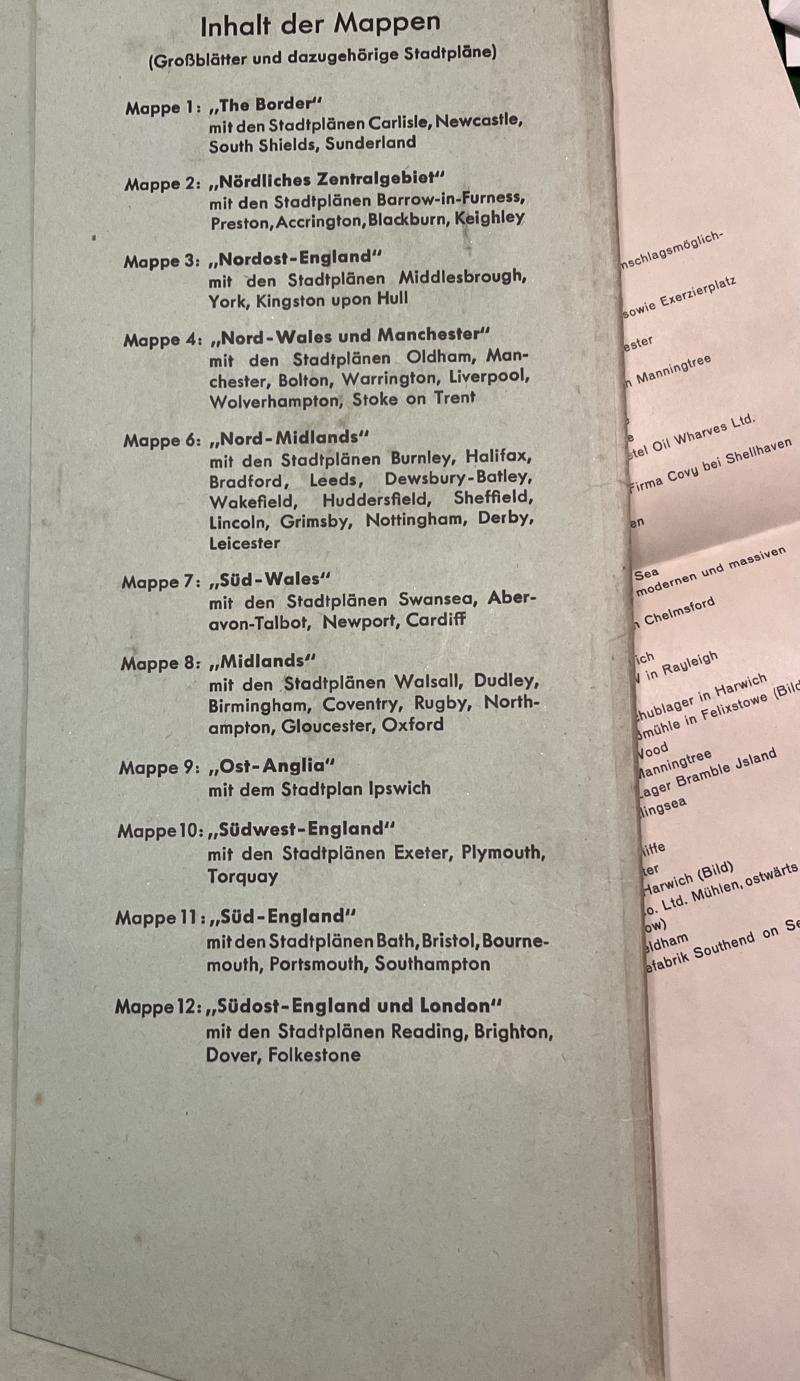
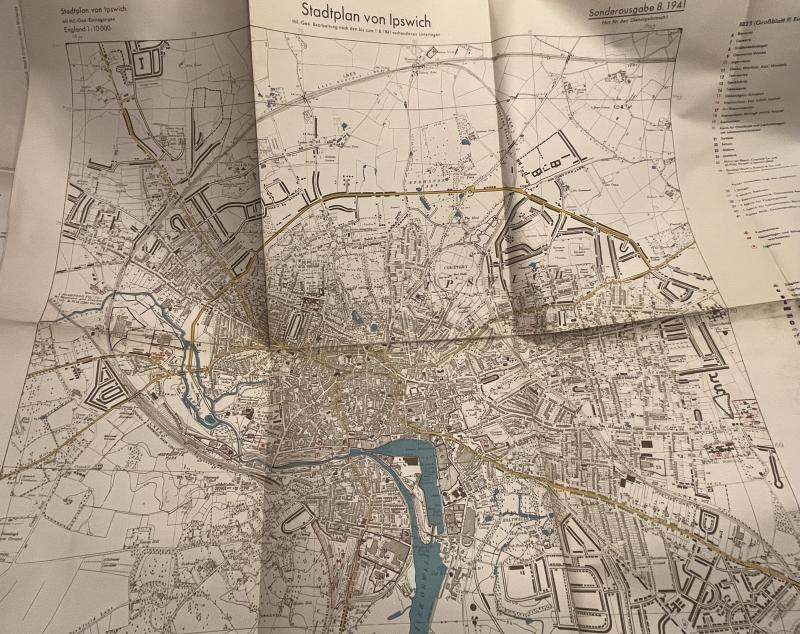
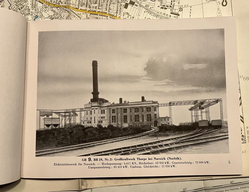
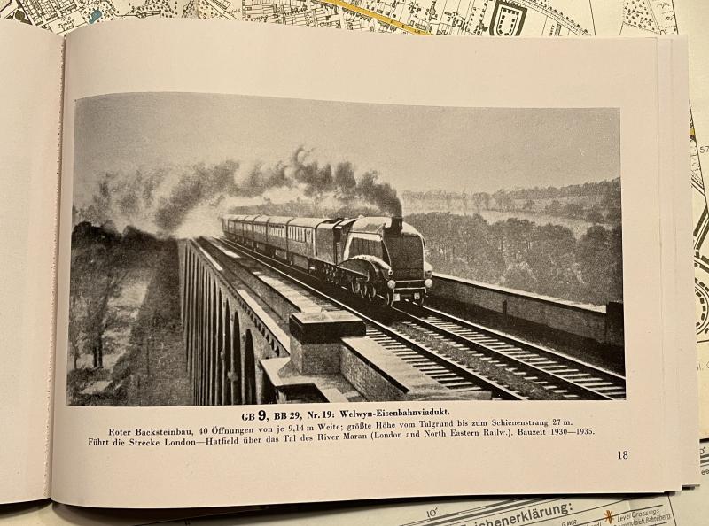
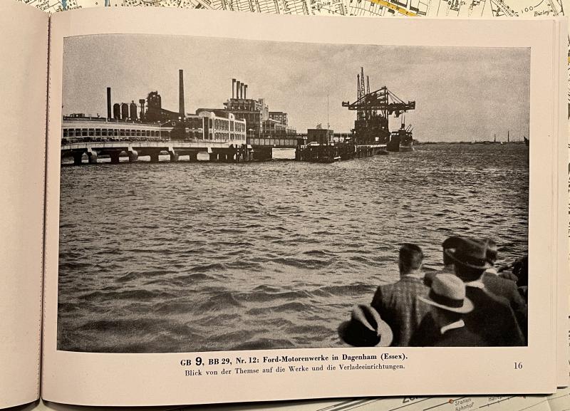
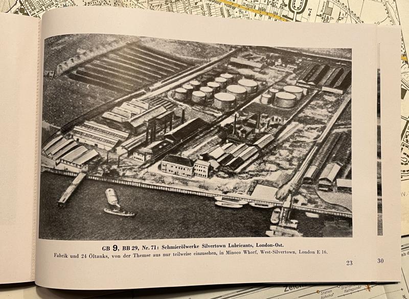
In preparation for a likely invasion the German High Command prepared a large multi-piece gazetteer of Britain, its geography and cities. Published in 1941 the gazetteer comprised a number of folders covering specific geographical areas, this example, number 9 was simply entitled ' Ost-Anglia '. Interestingly East Anglia extends to North London with images of Dagenham, Tottenham, Hendon and Hackney in the landscape format 30pg booklet which has a number of b/w photographic views of some of the tactical points of interest identified on the maps. The card folder contains a large 1:250000 overview map of the general area with a further 1:10000 city map of Ipswich .All maps are copies of standard British OS maps of the period but have been overprinted with German annotations and identifiers of tactical locations and other areas of importance. All items are present and in generally good condition with some marking and staining. The folder is a little grubby with some damage but is substantially intact. Uncommon.
Code: 12947